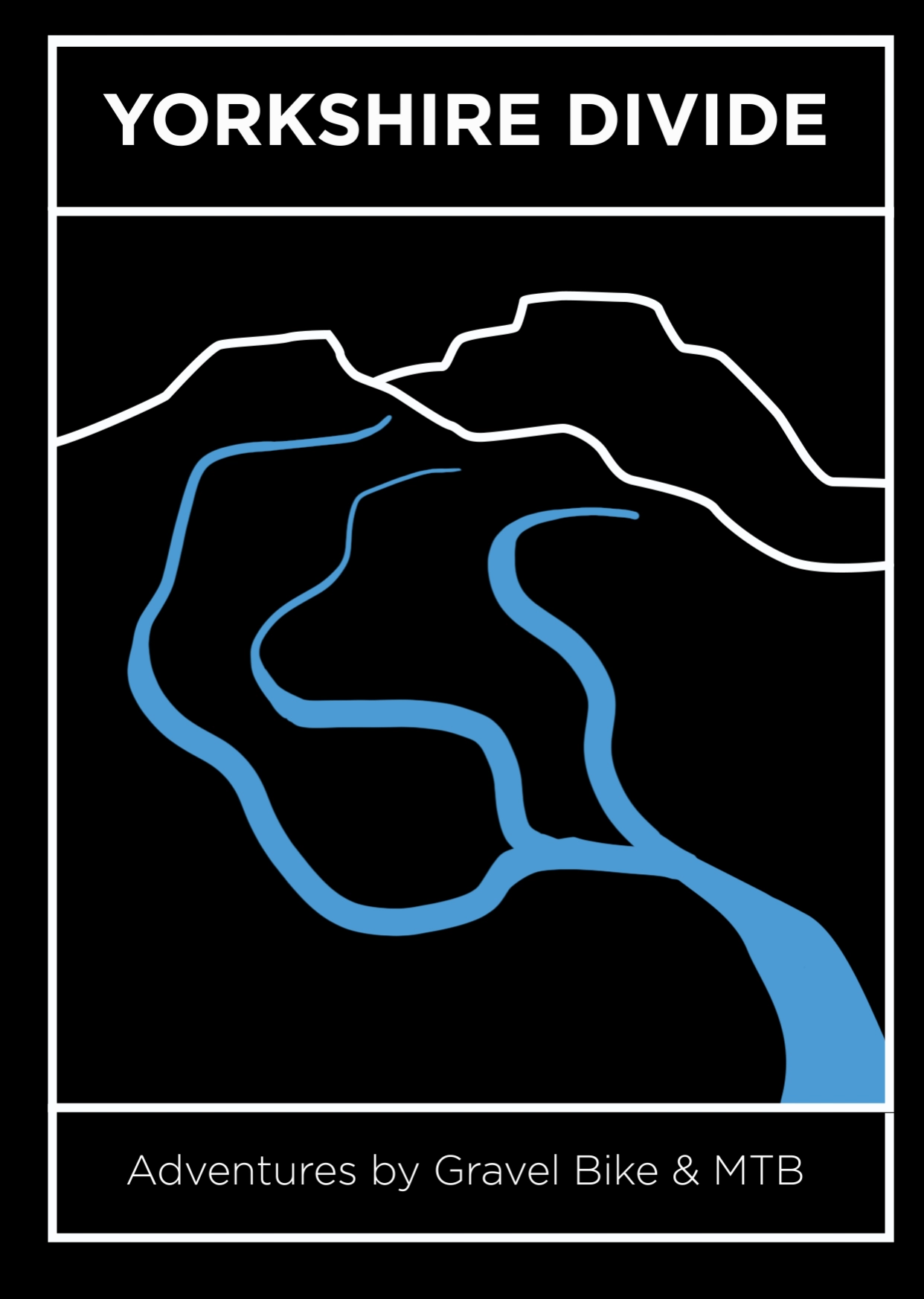
Adventures by bike
Yorkshire has over 4,000 miles of bridleways so we look to these tracks on our moors and valley slopes to create one day and multi rides rides.

Mills N moors Series
One day rides with different route options on each event.
29th June from Cycle gear in Halifax: 24km / 40km / 66km / 104km
5th October from Blazing Saddles in Hebden Bridge: 20km / 47km / 77km
Tickets £5 / £10 / £20

Calder Divide Trail
The Calder Divide Trail connects moorland singletrack, bridleways through woodland and urban greenways around the area of land that drains the River Calder.
There are 4 routes, 2 designed for gravel bikes on well maintained tracks and 2 designed for mountain bikes as these route goes over rough and steep tracks on the moors. E-bikes are welcome.
All riders are welcome to stay over on the Saturday night at the campsite at the half way point.
At the finish line on Sunday all riders are welcomed back with an embroidered cloth badge, certificate and the all important pie n peas supper. In aid of Overgate Hospice with our aim being to raise £2,000.
Date: 20th - 21st September 2025
Starting line: Mytholmroyd Community Center, Calder Valley
Distance: 151km (100 miles) / 236km (160 miles)
Tickets: £25 / £65 / £105


Headwaters Trail
The Headwaters Trail takes you to the source of the River Calder, River Aire and River Don whose waters powered some of the first mills and forges of the Industrial Revolution.
The trail is 320km long (200 miles) with a 250km option and takes you from the South Pennines, north into the Yorkshire Dales and then south to link with tracks in the Peak District. It is 80% ‘off-road’.
On the event weekend we have an Event HQ with bag store, showers, pie n peas and car park. The route can be enjoyed as either a self-supported bikepacker or a supported rider with two campsites, luggage transfer and evening meal + breakfast together with a GPS tracker from ‘Follow My Challenge’ aka ‘dot watching’.
Date: 3rd - 5th May 2025
Starting line: Mytholmroyd Community Center, Calder Valley
Distance: 320km (200 miles)


Source to Sea Trail
The Source to Sea Trail takes you on an epic ride on every imaginable grade of trail across three National Parks and the remote moorland where ten rivers emerge.
In 2025 the route will be 720km and 9,000 meters (450 miles / 30,000 feet). Whilst the distance is demanding the challenge lies in negotiating the mix of tracks over the varied terrain.
In broad terms a mtb would suit the western half as we cross the Yorkshire Dales and North York Moors whilst a gravel bike would relish the long eastern leg on the broad floodplain from Pickering to York, along the Humber estuary and around to Castleford. The final 50km over rough tracks on the Pennine moors is the sting in the tail!
In aid of ForUs Tree a community habitat restoration group in the Calder Valley.
Date: 3rd - 7th May 2025
Starting line: Mytholmroyd Community Center, Calder Valley
Distance: 720km