Distance: 320km (200 miles)
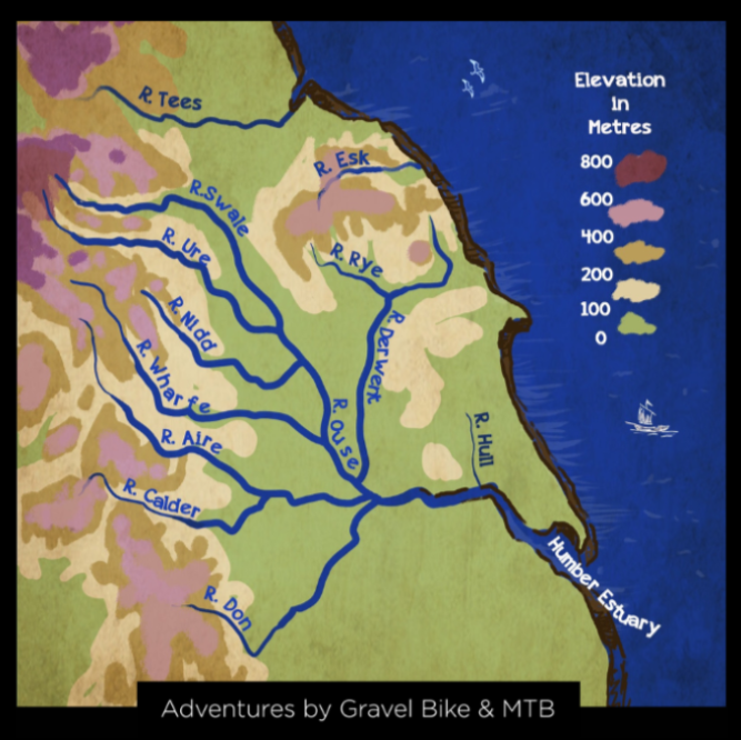
Welcome to a trail that connects bridleways and greenways on a circular route which takes you to the ‘head of the waters’, the source, of the River Calder in the South Pennines, the River Aire in the Yorkshire Dales and the River Don in the Peak District and out across the Aire Valley and Southern Washlands.


The trail
The trail takes you from Hebden Bridge along the canal towpath up through the oak woodland on the steep valley slope and north onto superb moorland trails on millstone grit. After passing through the ancient hamlet of Wycoller we ride across rolling hills in the South Pennines. At this point the long route climbs up onto limestone ridges to arrive at Malham Tarn and onto Mastiles Lane.

The Headwaters Trail is not all moorland and Pennine hills as both routes use the towpath for a long ride on the Leeds - Liverpool canal, past the spectacular Five Rise Locks at Bingley and onto the docks in Leeds city centre.

From here we travel south on a greenway following the thick blue watery vein that is the River Aire along many miles of flat cycle paths to arrive at Castleford and then on through woods, fields and the edge of a modern industrial estate to arrive at a World Heritage Site that celebrates our mining heritage at Elsecar.

Turning west we head to Wharncliffe Woods with its fast flowing gravel tracks and onto a reclaimed railway line to Penistone where there are excellent cafes. Another dozen miles and you arrive at our second campsite on a farm outside Shepley with its grass field for your tent and cosy barn to enjoy your camp meal.

We are now at the edge of the Peak District and we make a line due north to the long flowing descent down Wessenden Valley and into Marsden and on rough tracks over the moor. The finish line at Mytholmroyd is a few hours ride away.