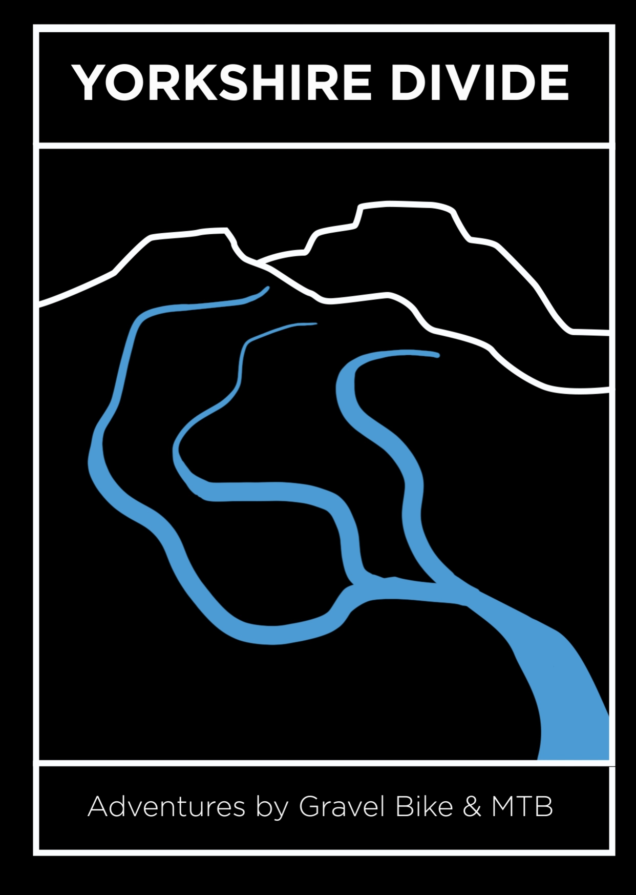
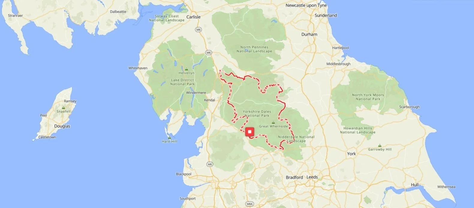
The Dales Trail is an adventure on bridleways and greenways around the border of the Yorkshire Dales National Park on superb tracks in Malhamdale to the south, Swaledale to the north, Cumbria to the west and Nidderdale to the east.
It’s a rough stuff adventure ride into the unfamiliar Dales.
By going around the edge of the Yorkshire Dales National Park there will be places you didn't know and, as the route travels clockwise in the opposite direction to both the Dales Divide and Dales 300, you will also see old favorites in a new light:
Descend Bowderdale on the longest single moorland track in the north of England
Along a rarely used and flowing switchback gravel track in Micklethwaite Gill
Take a Drovers Road in Nidderdale that was the M1 of its day bringing cattle from the Cheviot’s to the Dales
Cross Great Asby Scar with its superb grassland bridleways on the largest area of limestone pavement in the north
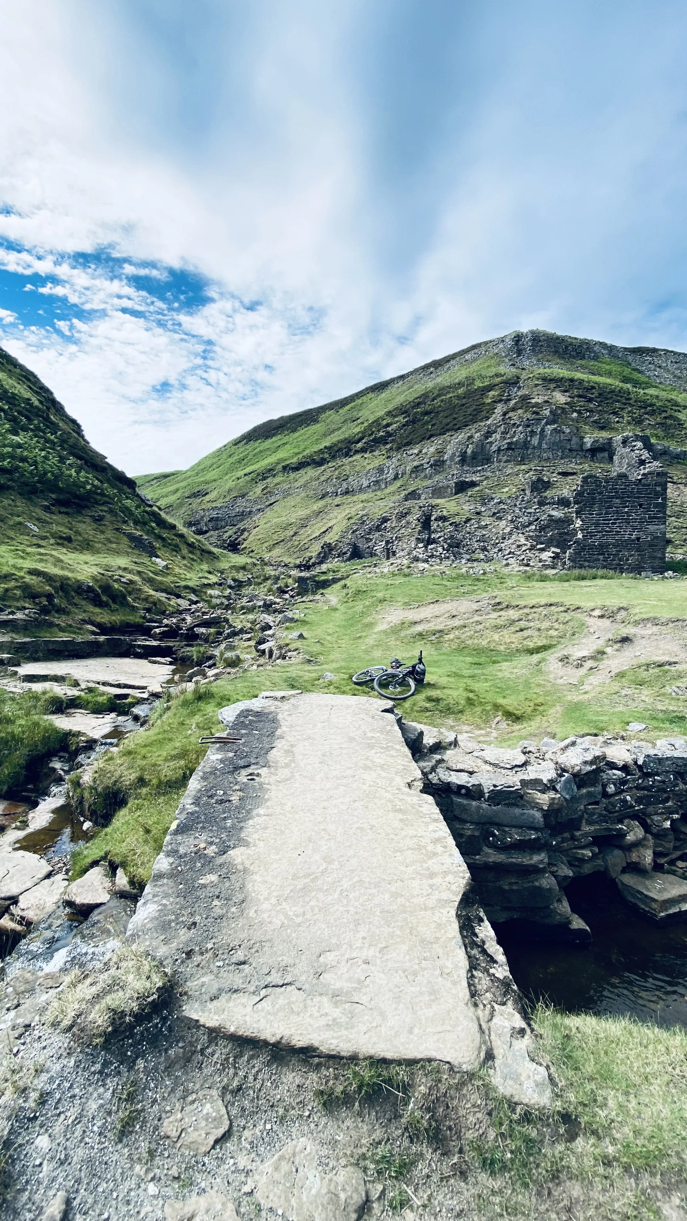
Over gravel tracks in Gunnerside that once rang to the sound of lead mines
Pass the curtain walls of Bolton Castle, a 14th Century fortified house
Into a Dales village with a community pub, the last remaining public house (Carlton)
Descend from Tan Hill into Swaledale and see the upland stages of the last wild river in Yorkshire: the Swale
The Dales Trail takes you over remote moorland and steep valley slopes on every conceivable type of track - from classic Dales double track on Cam Fell to sublime Bowderdale singletrack - and through bogs, fords, streams, rock gardens then onto bothies, quiet pubs, village cafes, castles, Abbeys, Coop mini stores and a few welcome stretches of tarmac on narrow lanes.
The route is 95% rideable but there are stretches of track across moorland which are, at times, difficult to navigate and some sections require the willingness to ‘hike a bike’ for example;
1. Occupation Road before the superb descent into the heart of Dent
2. The hour (or more) long ‘hike-a-bike’ up to The Calf on the Howgill fells leading to the sublime Bowderdale singletrack
3. Along a very narrow ridge climbing out of Gunnerside onto Reeth Moor
Experience of navigating ‘rough stuff’ tracks is required as the route is unmarked and a few sections are across rarely visited moorland hence the tracks are very faint. The route is approximately 75% ‘off-road’. A mtb is the best choice but a gravel bike with 45 tyres is ok.
At 330km and with 7,000 metres of climbing (200 miles / 22,000 feet) the Dales Trail perhaps best suits experienced bikepackers with the Calder Divide Trail weekend on 19th - 20th September 2026 an excellent opportunity for those new to bikepacking to experience the joys and hardships of multi day riding across ‘rough stuff’ tracks and lanes.


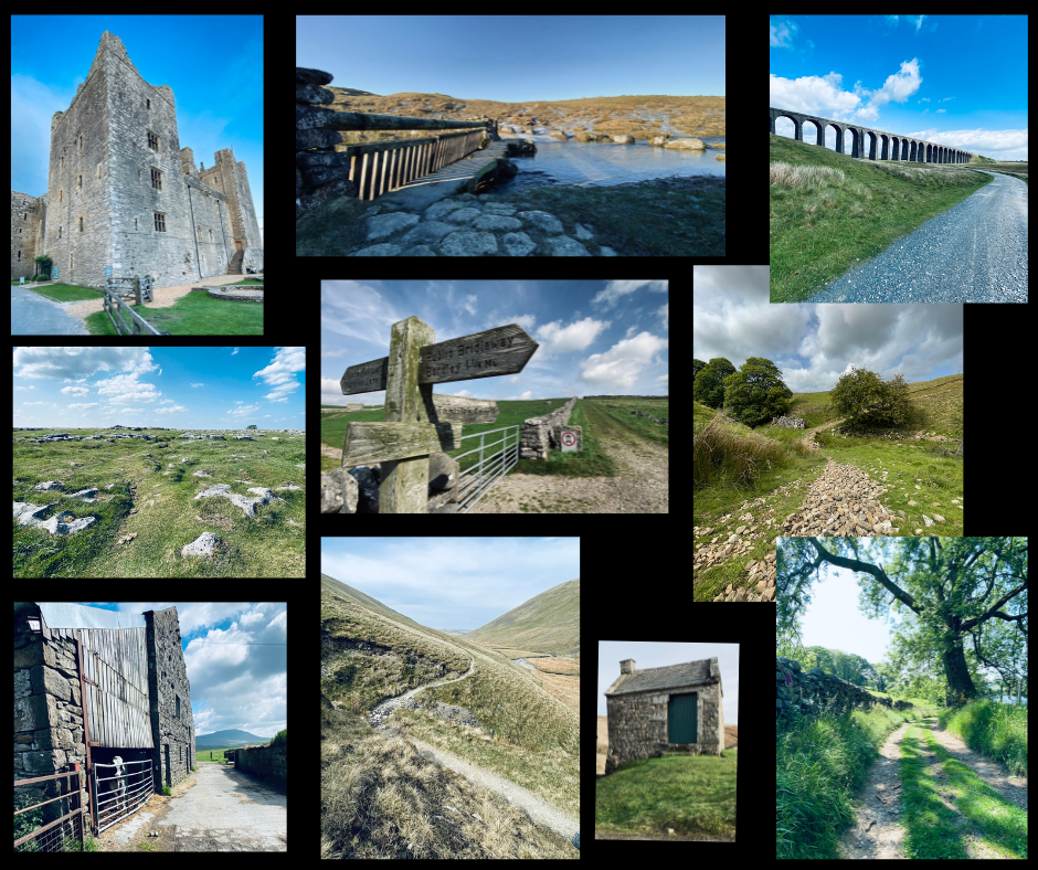

Highlights:
Moorland singletrack through Bowderdale in the Howgill Fells
Miners tracks to Blakethwaite Smelt Mill in Swaledale
Limestone track on the slopes of Ingleborough
Quiet lanes across the Westmorland Dales
Double track to Dent’s Houses, Apedale
Cam High Road and Ribblehead Viaduct
Clapper bridge at the edge of Feizor
Drovers Lanes in Malhamdale
Podgill Viaduct, Eden Valley
Descent from Tan Hill
Fremington Edge
Skyreholme Bank
Iron Hill