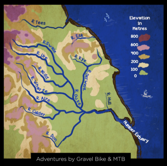
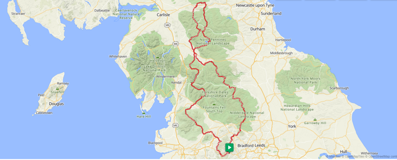
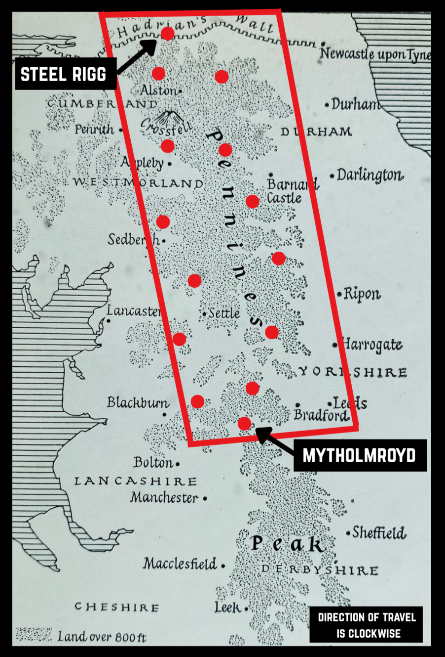
The Pennine 500 is a bikepacking route through the Pennines, a range of hills and passes along the backbone of the north of England.
Pennine 500 is a ‘there and back again’ route on 500kms of tracks and lanes within the folds of the Pennines.
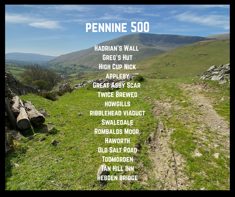
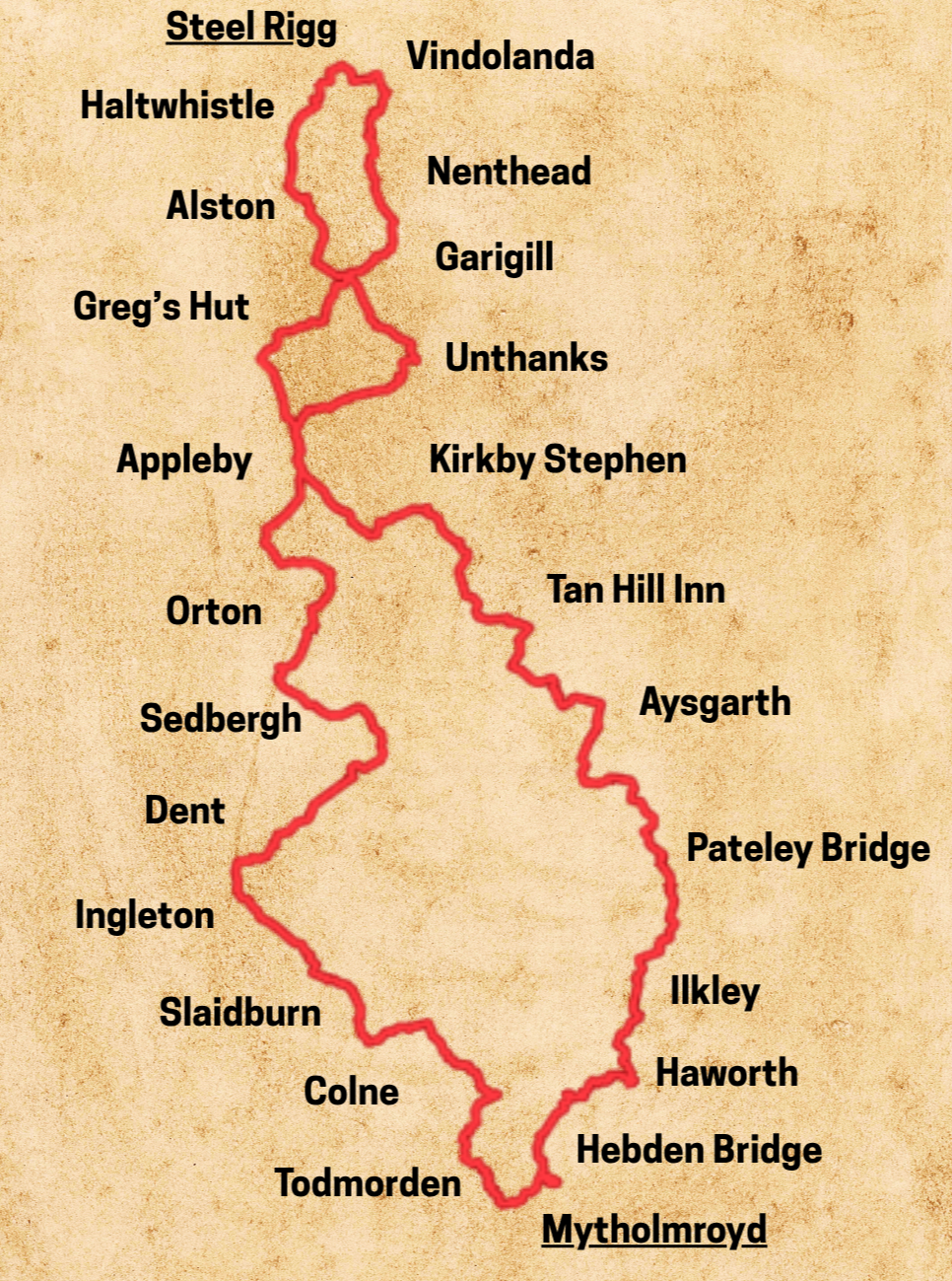
Event: Pennine 500
Date: 29th May - 1st June 2027 (4 days)
format: self-supported bikepacking rally
Event Hub: Mytholmroyd community centre
Group start: 8am
Stats: 500km / 9,600m

‘A new day, a fresh try, one more start, with perhaps a bit of magic waiting somewhere’. J.B. Priestley
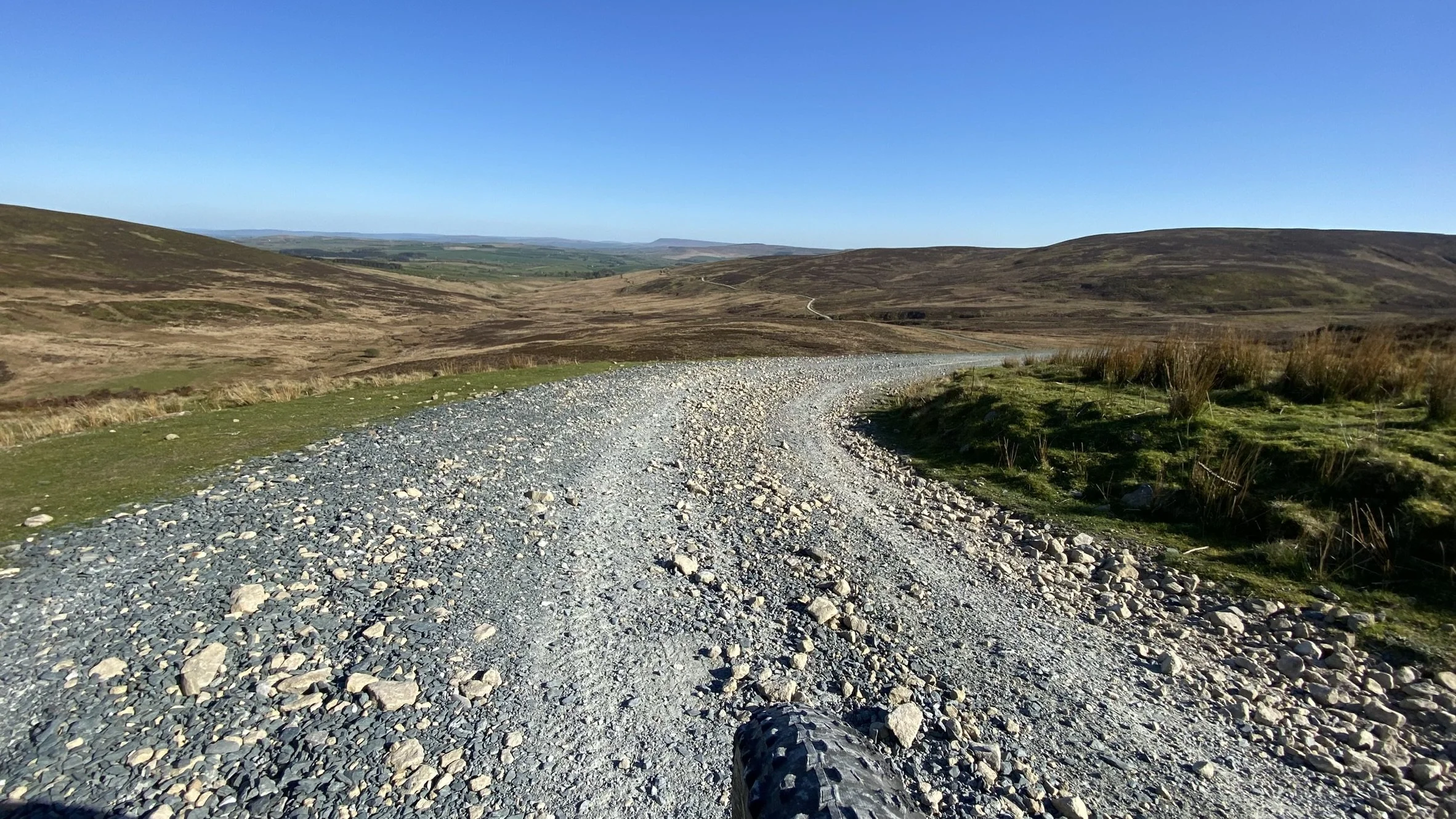
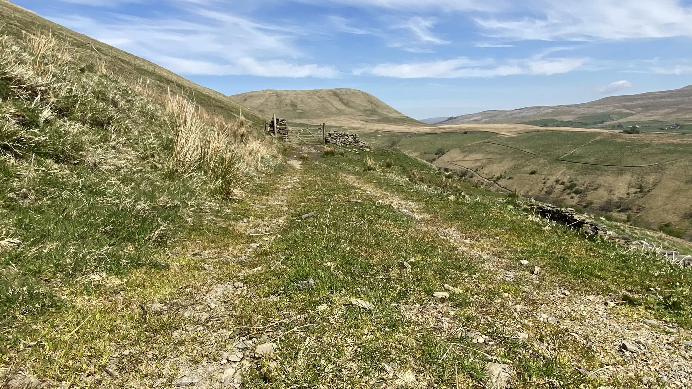
Salter Fell Road, Bowland Forest
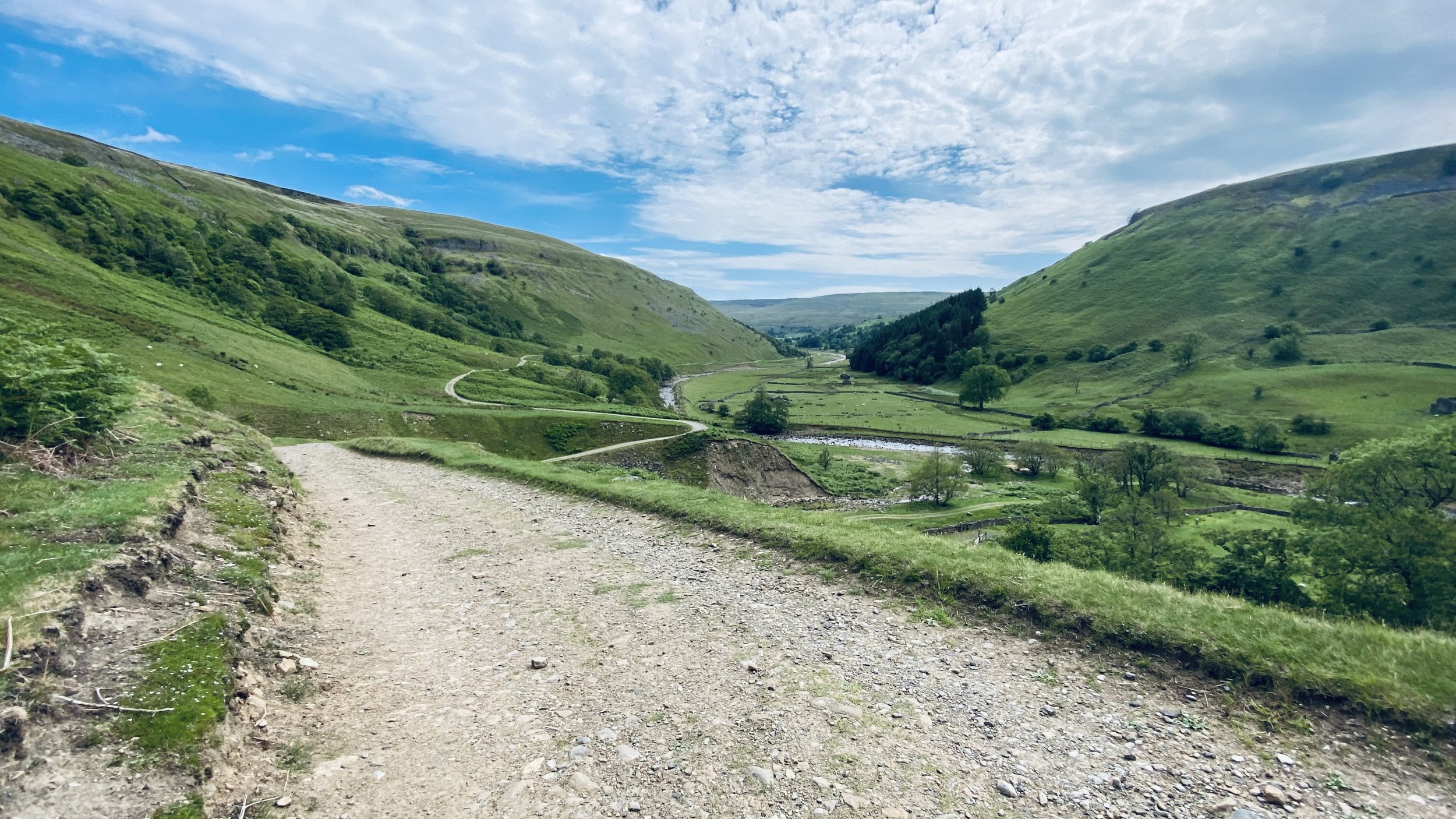
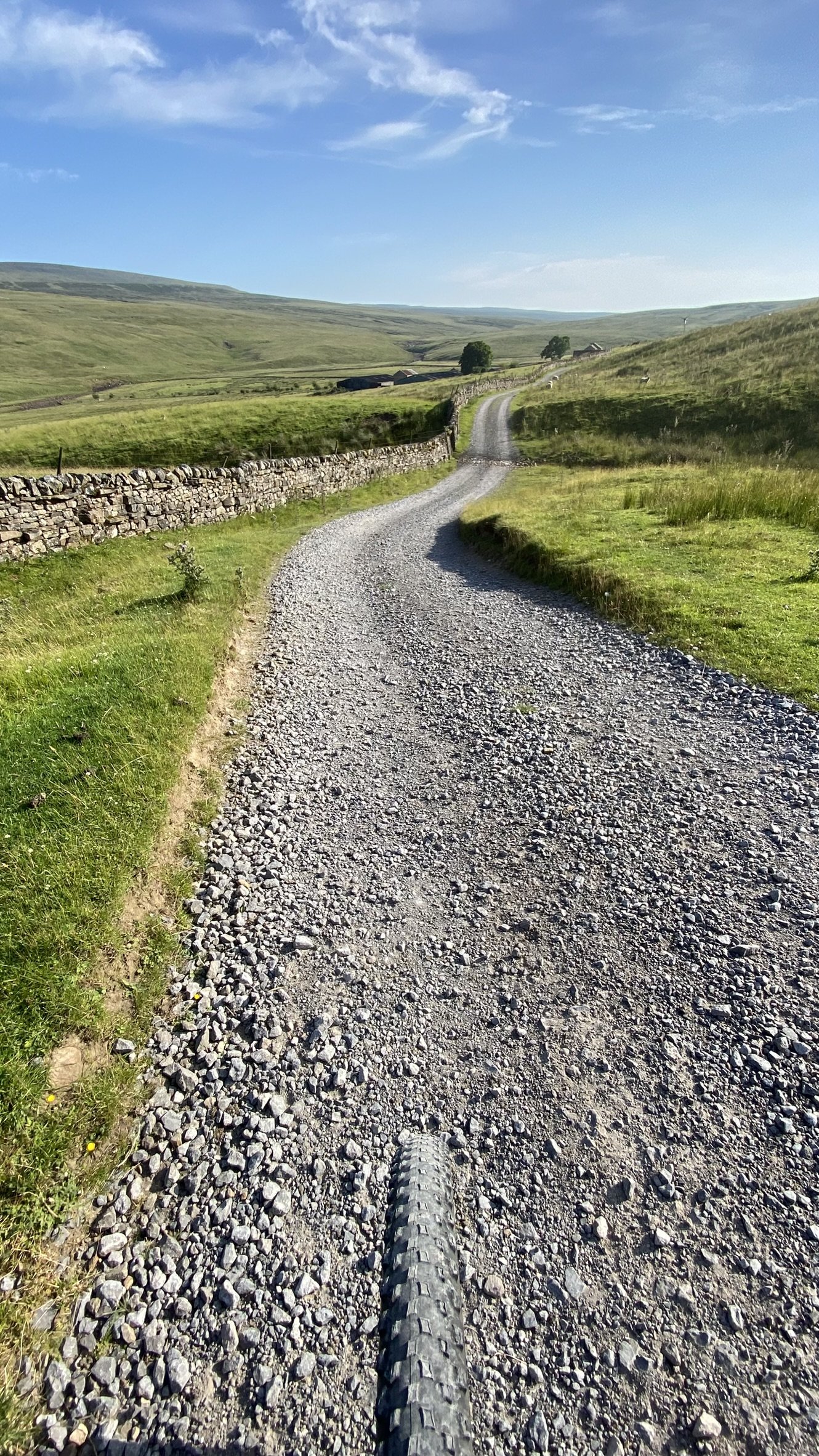
Swaledale
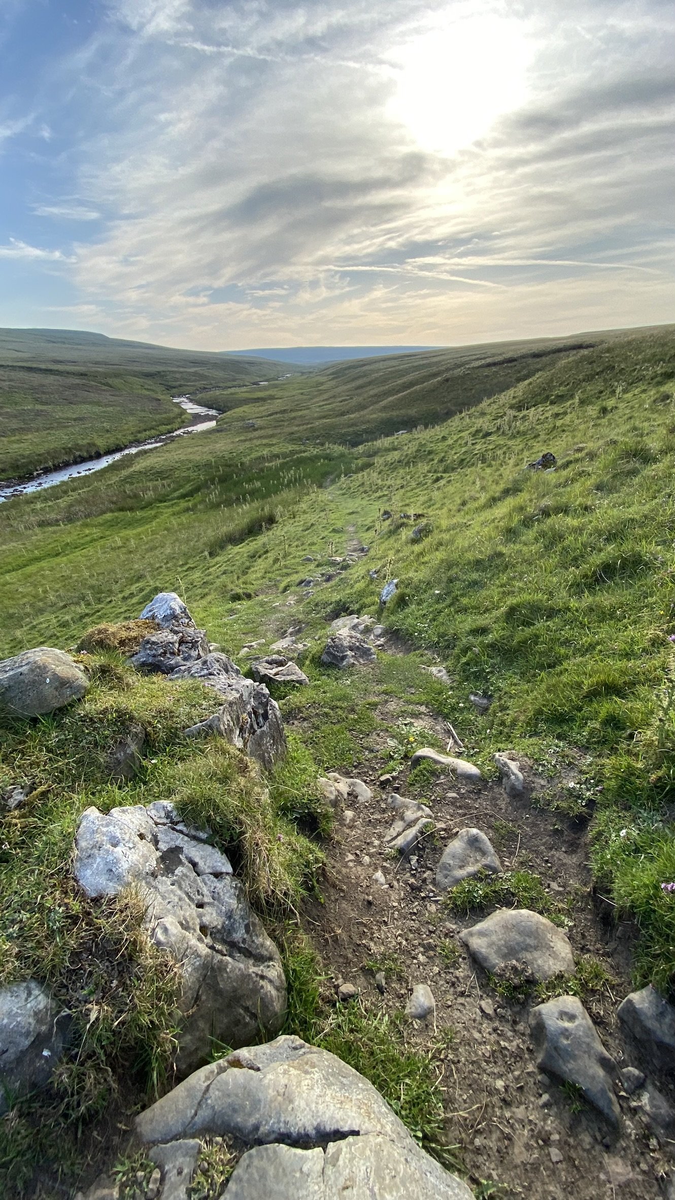
Allen Valley, Northumberland
Nidderdale
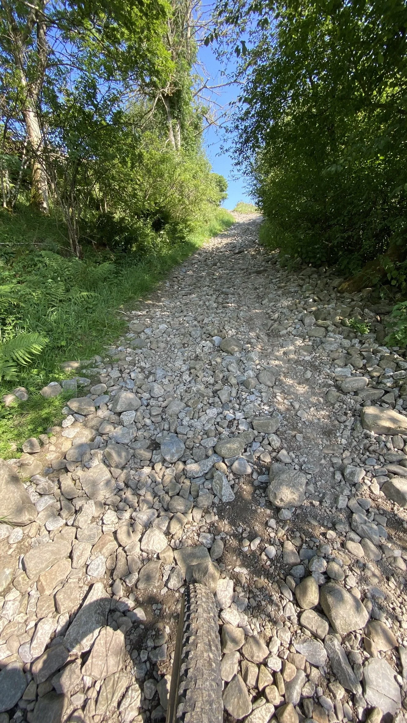
Calder Valley, Spencer Lane, 1km from the start line

Crimsworth Dean, 4km to the finish line at Mytholmroyd
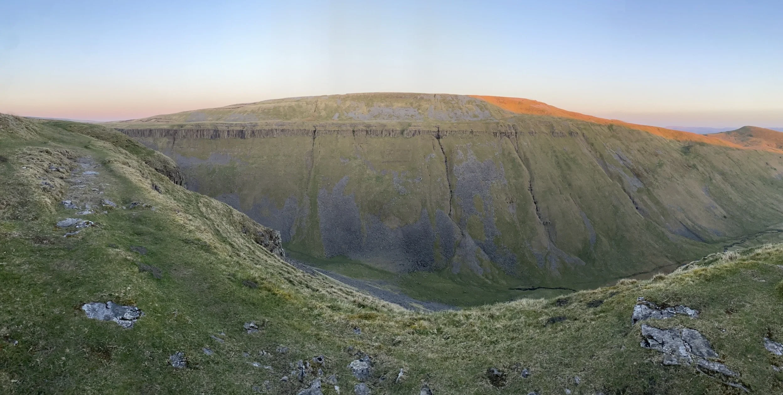
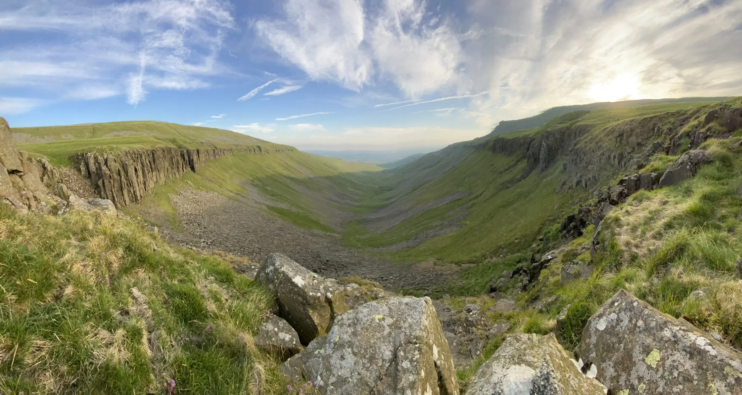
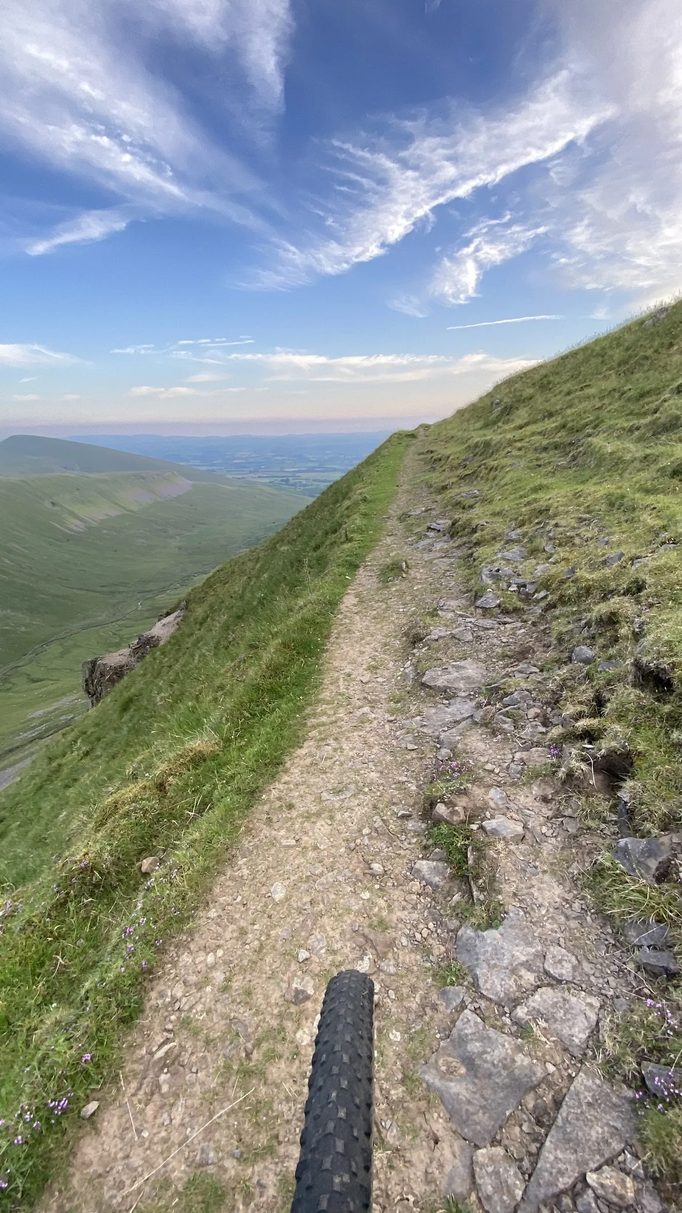
High Cup Nick, North Pennines
Flanks of the Howgills on tracks between Sedbergh and Orton
The Salt Road, straddling the border between Lancashire and North Yorkshire
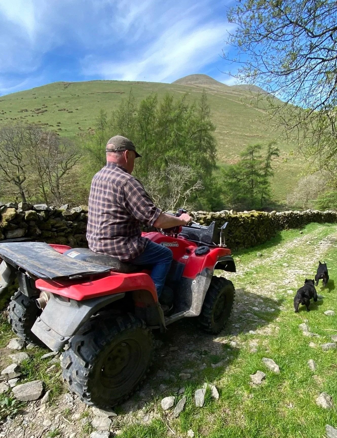
Mike born on a farm in the Howgills, taking his two dogs to the beck for a swim
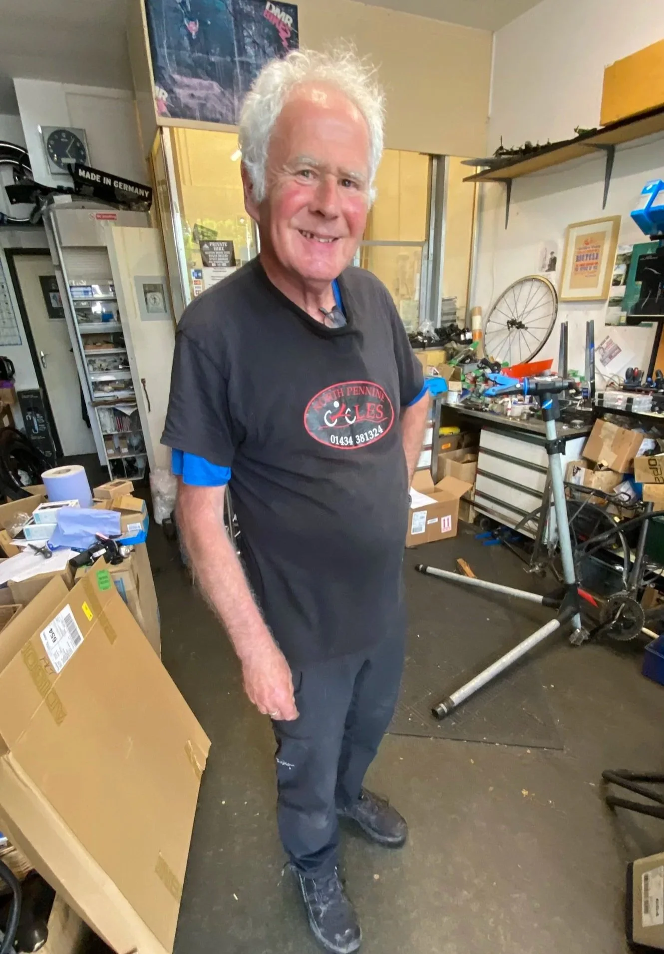
David runs North Pennine Cycles in Nenthead
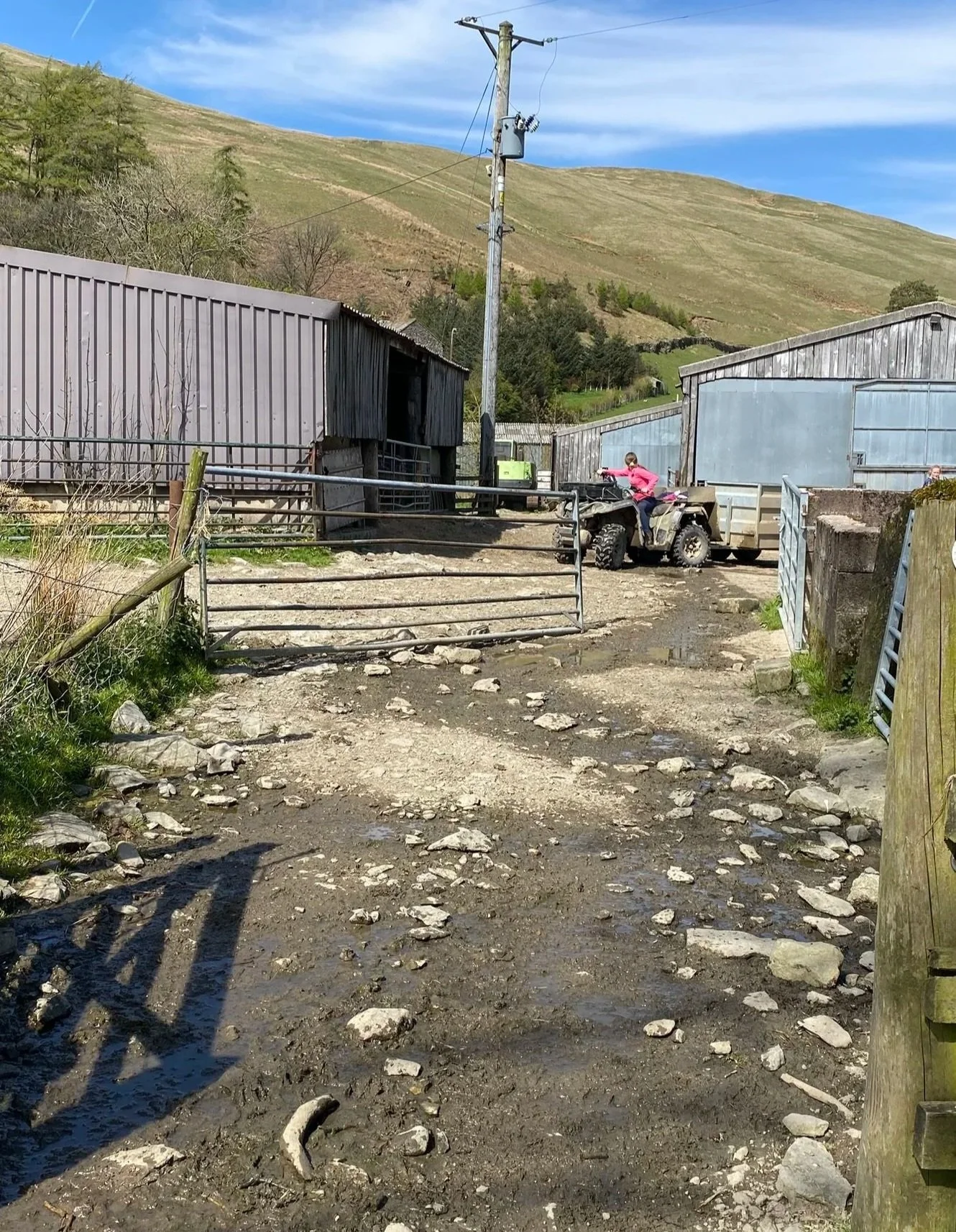
High Greenside Farm
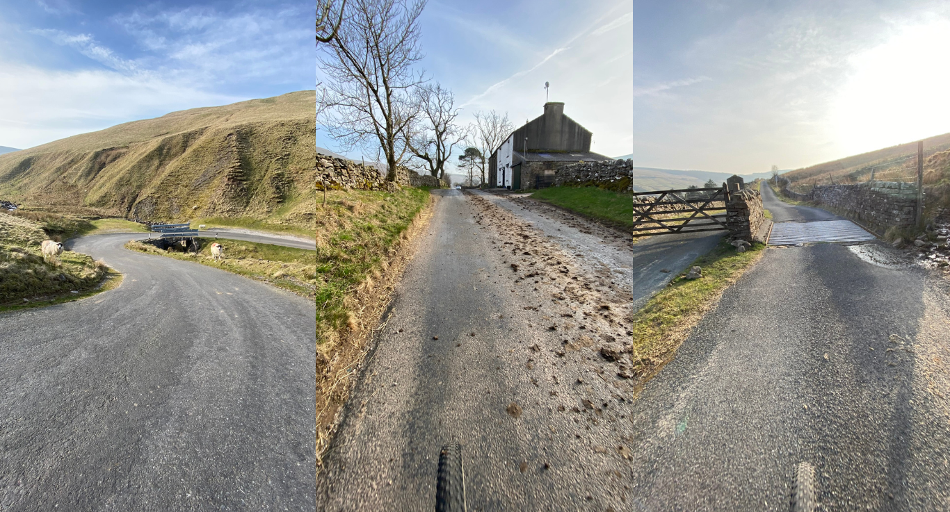
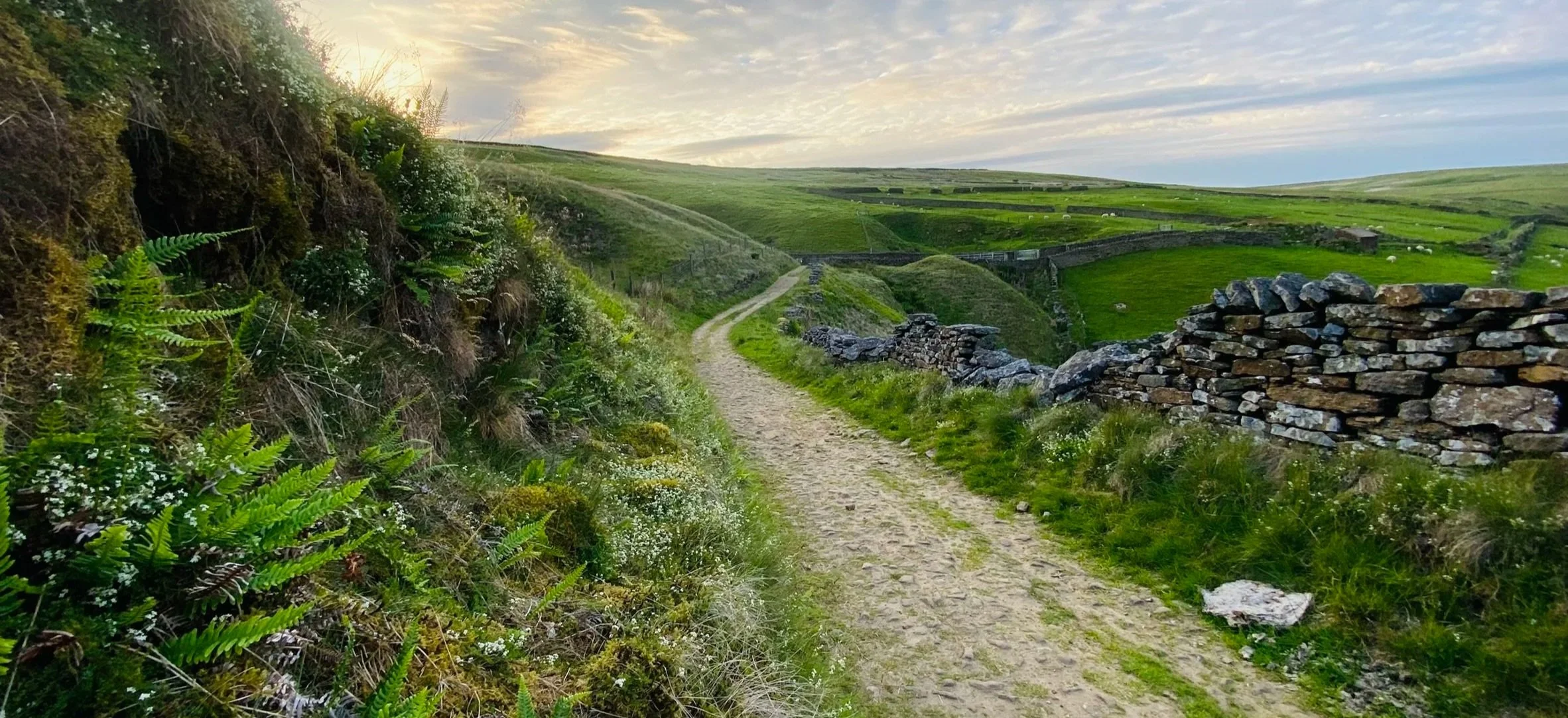
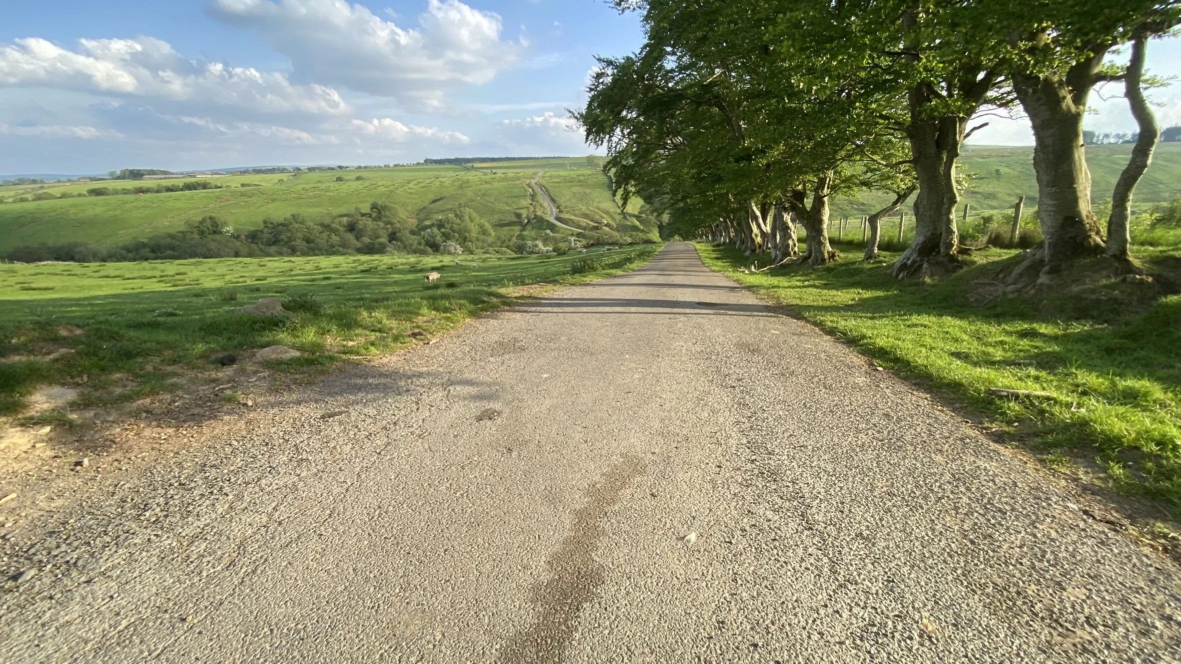
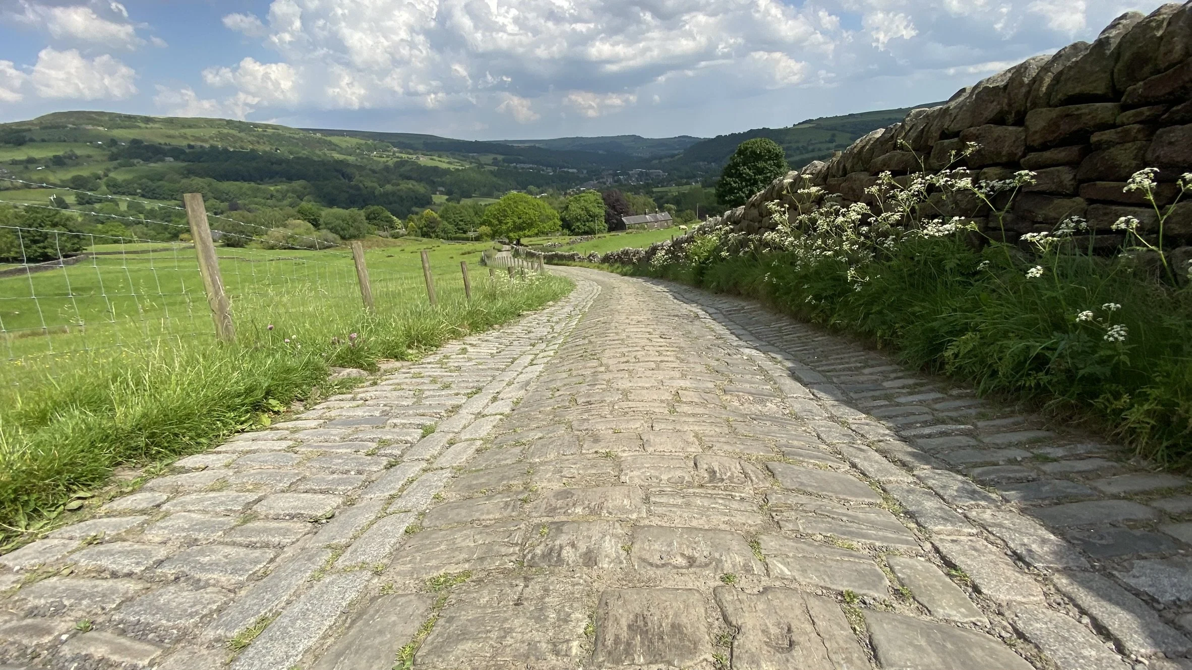
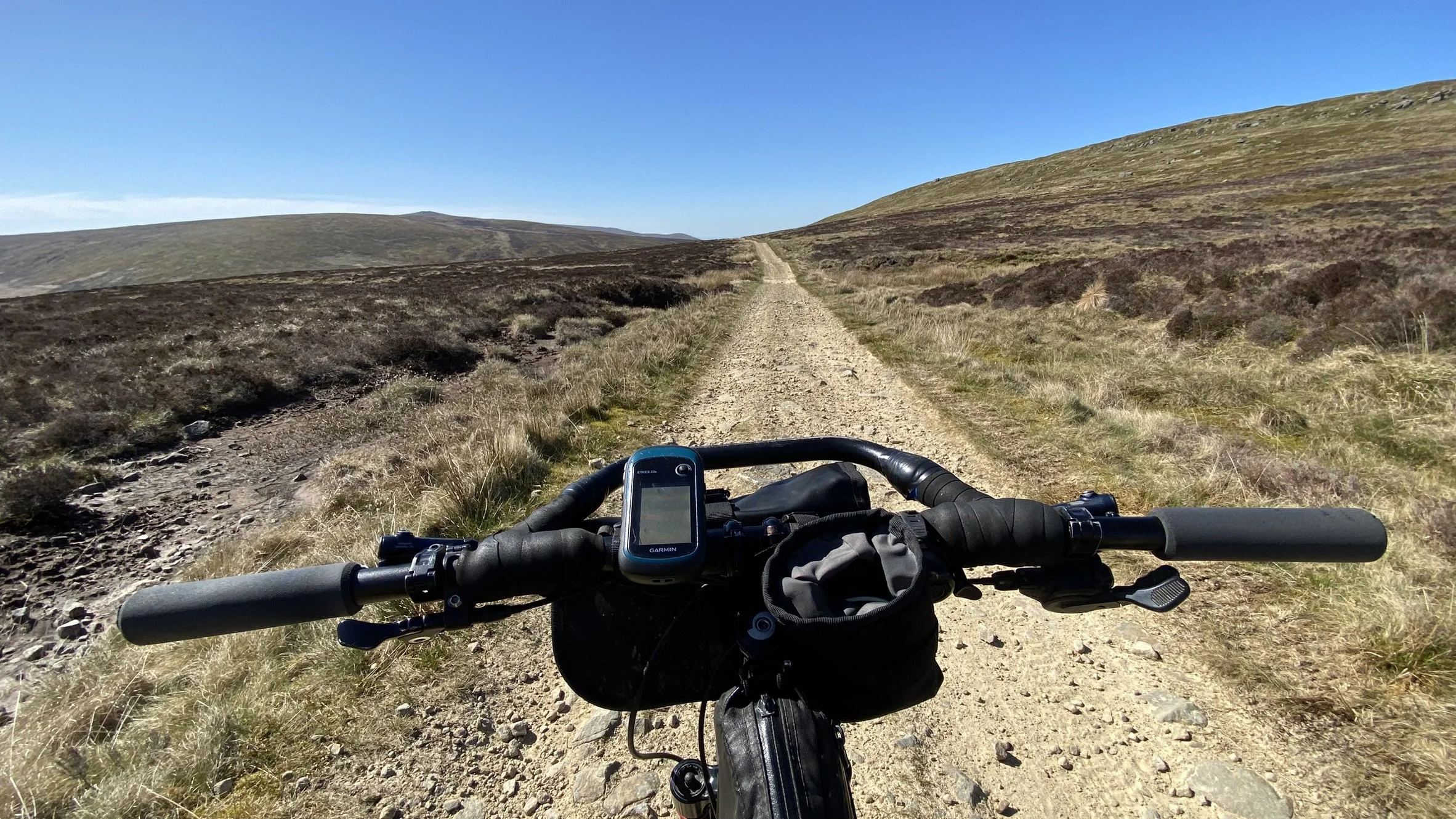
The route isn’t all rough stuff tracks but at last the roads are quiet.
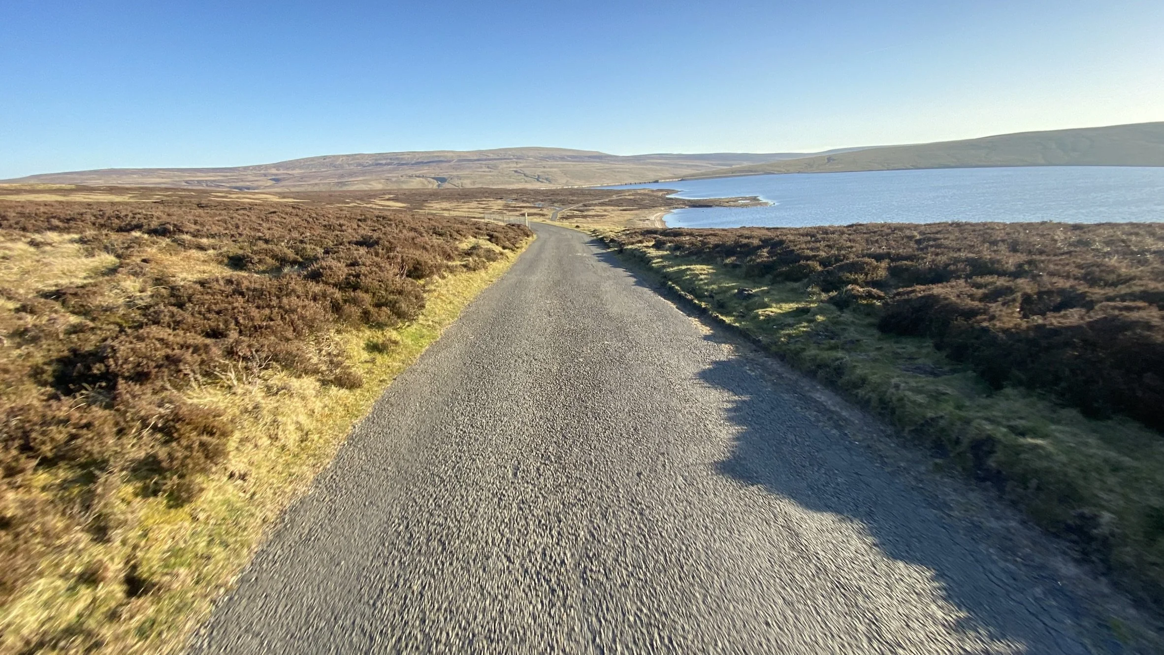
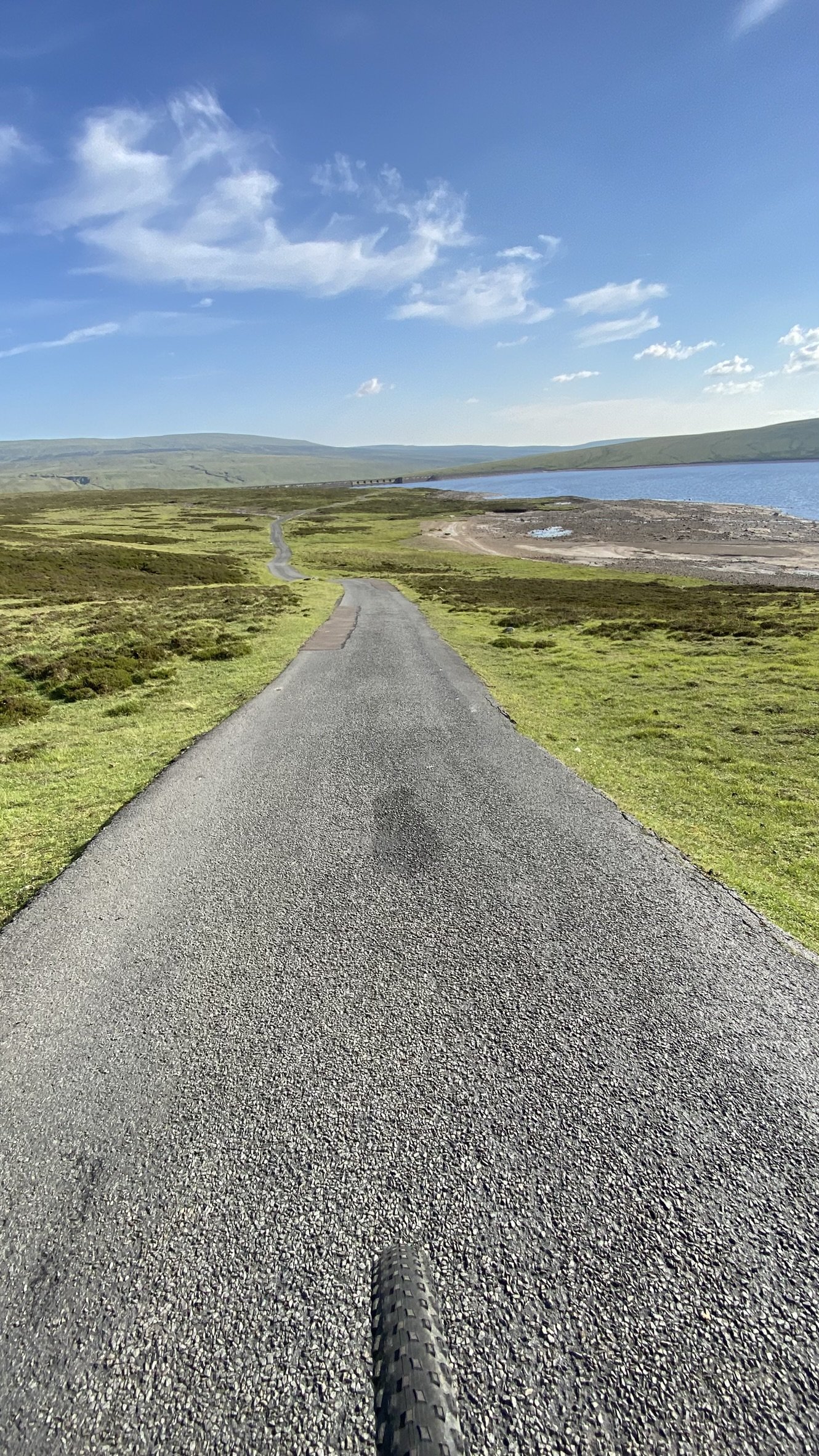
Reservoir access road - paved but dead end so limited traffic
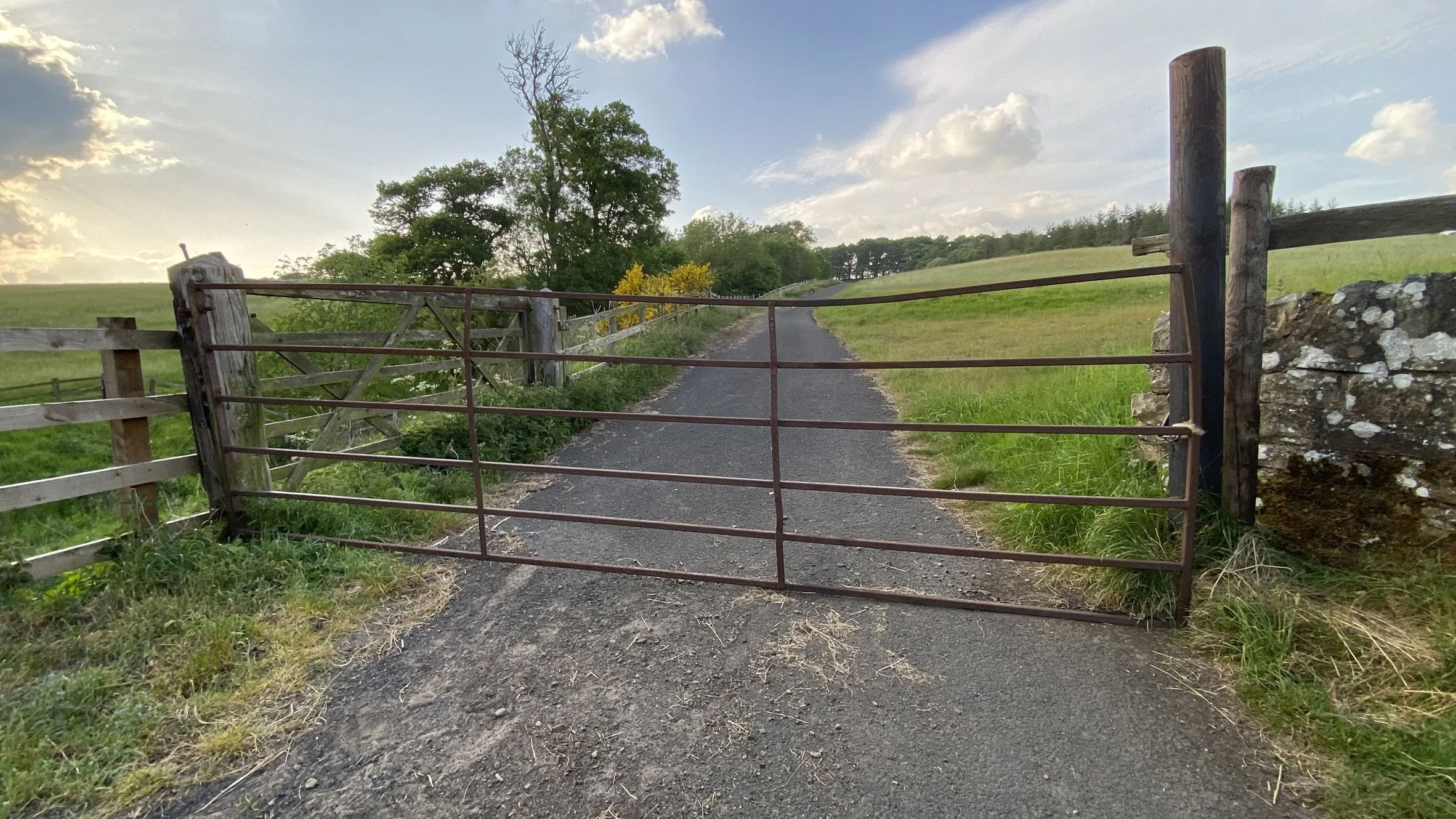
Gated road - paved but limited to use by farm vehicles
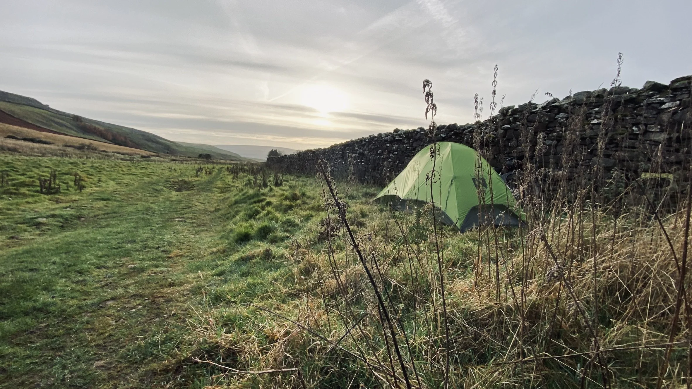
Wild camping on the open moor above the in-bye and pasture land.