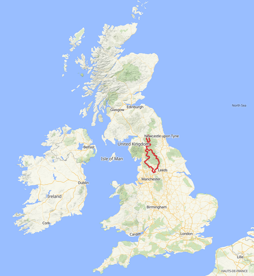
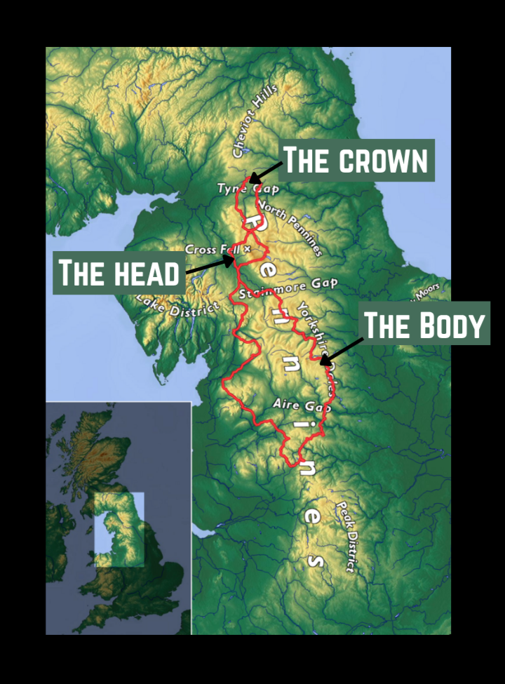
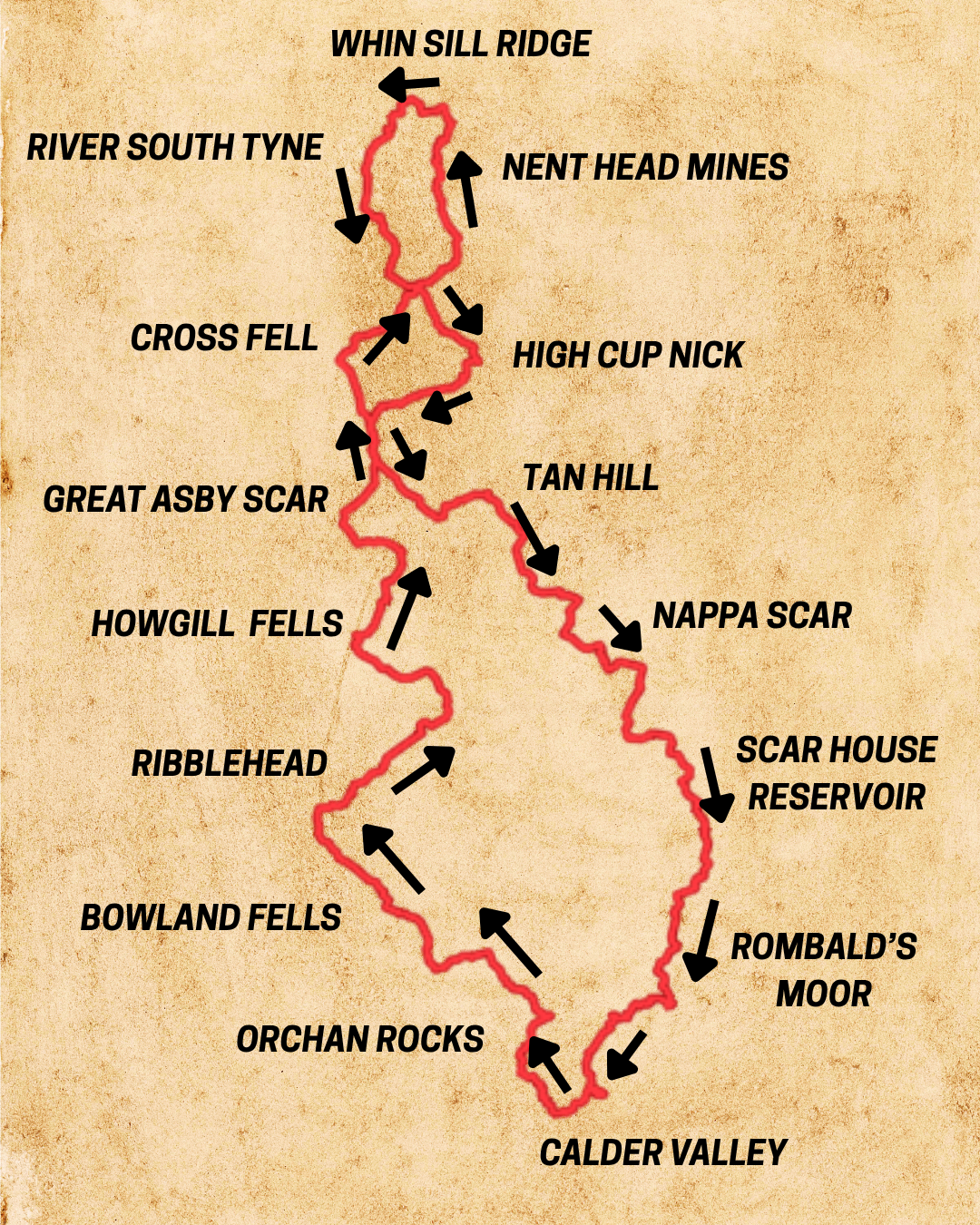
The 508km circular adventure features 9,900 metres of climbing across:
South Pennines: The Body
Cross Fell: The Head
North Pennines: The Crown
south Pennines: the body
We start in the Calder Valley with the event hub at Mytholmroyd Community Centre and within 1km we’re climbing on cobbled lanes and gravel tracks above Hebden Bridge.
Passing below the iconic Stoodley Pike we connect packhorse tracks through an 18th Century Quaker settlement and descend into Todmorden and a series of narrow stone bridges, twisting moorland singletrack and minor lanes to arrive at Colne.
We skirt Pendle Hill on country lanes through the Hodder Valley to arrive at Slaidburn in the gritstone heart of Bowland with the welcome sight of the Old Salt Road up ahead.
This road, mostly a rough gravel track, is also known as Hornby Road and it would be the highlight of any ride as the crunchy gravel track carves a route up to the 400 metre line to reveal a panoramic view taking in the Lake District to the west and the three peaks to the east with the profile of Ingleborough standing out. The 12 mile high moorland track has its roots in Medieval trade which linked the salt marshes of Morecambe Bay on the Lancashire coast to market towns in Yorkshire.
Crossing the Wenning Valley we enter the Yorkshire Dales National Park at Ingleton to pass under the Ribblehead Viaduct and narrow lanes bound by tall hedgerows to Dent with its village shop, pubs and campsites.
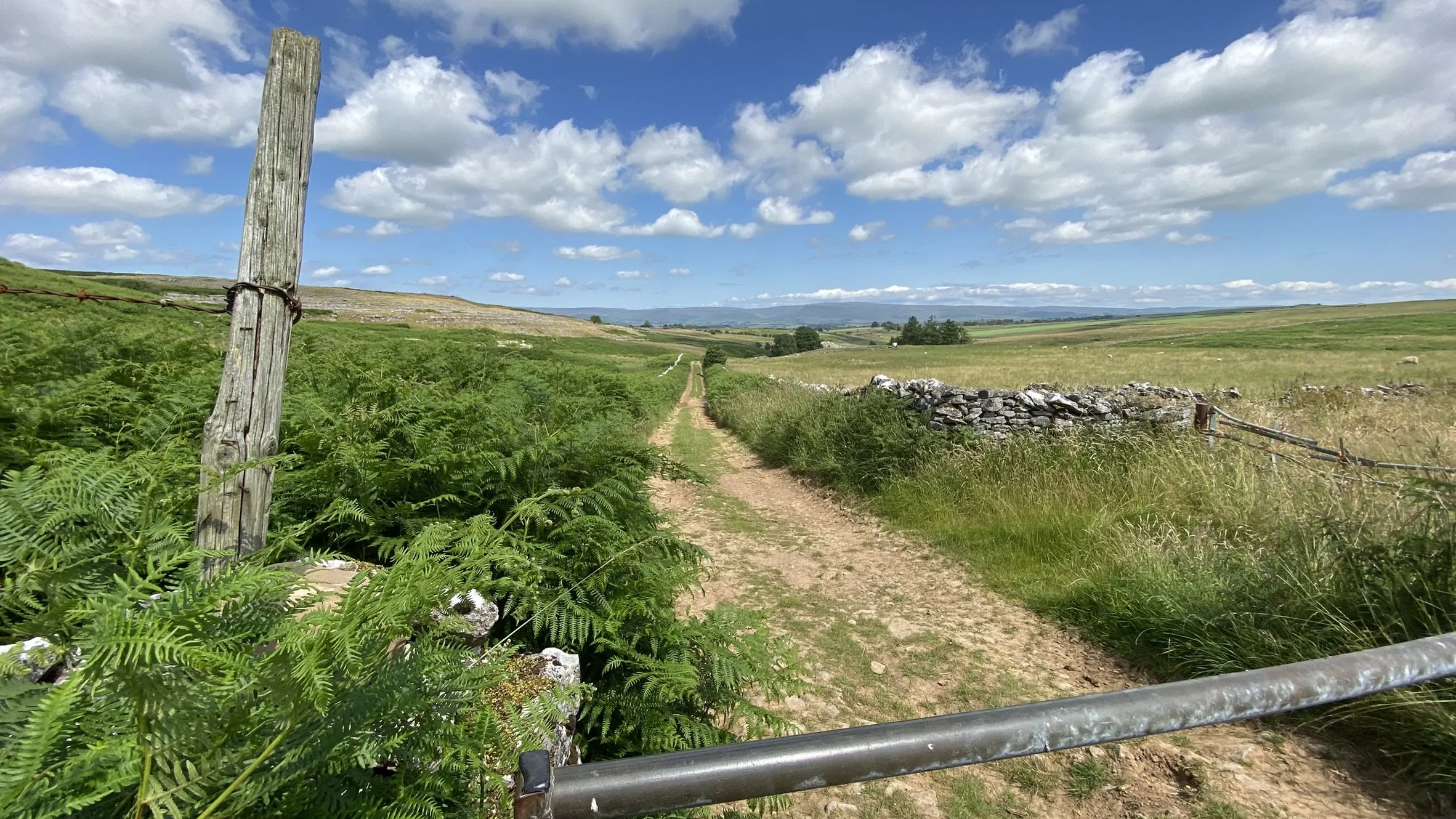
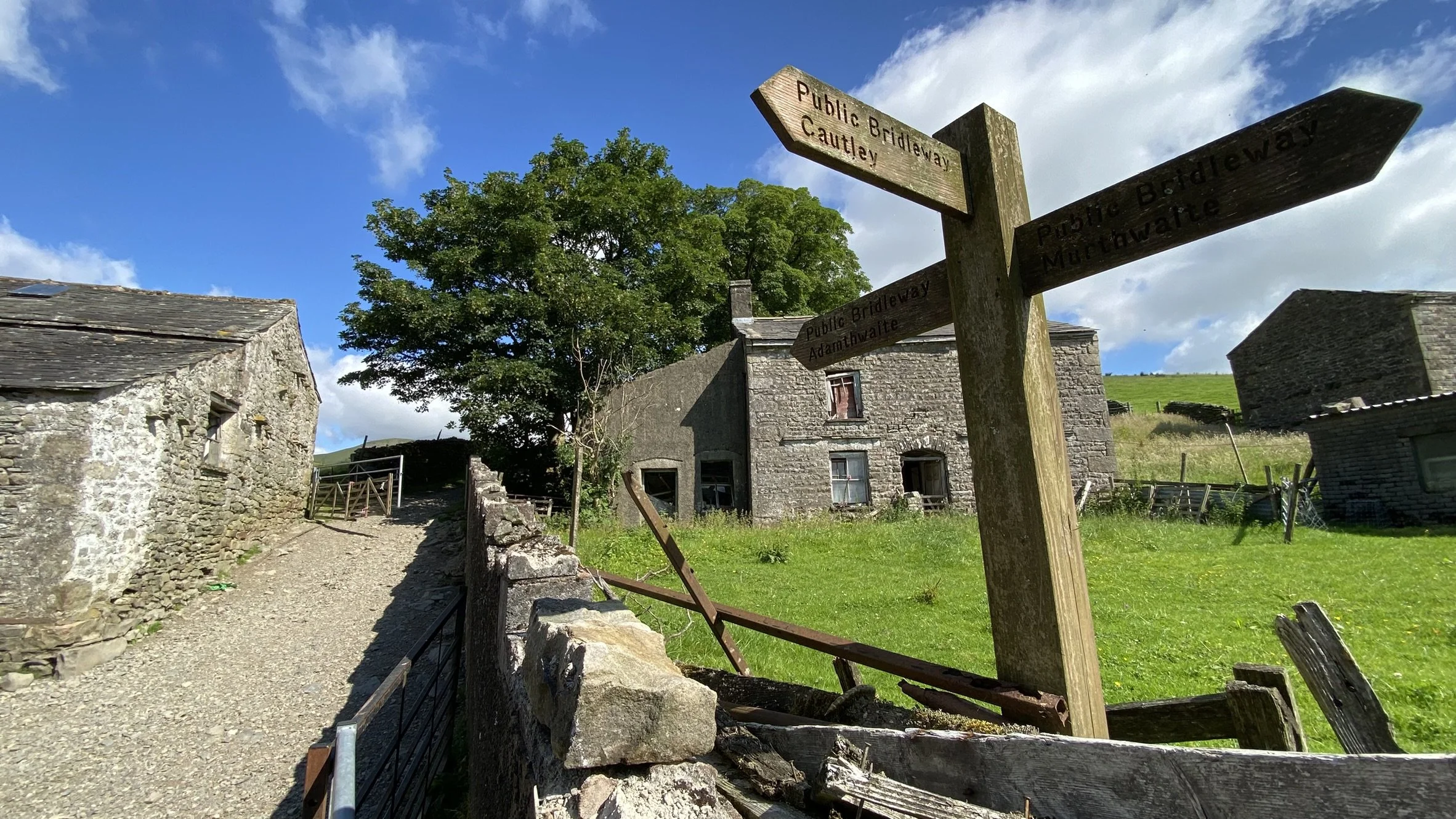
Sedbergh is the next town and then a series of connected green lanes, some rideable some with collapsed walls and overgrown hedges, takes riders over Cautley Beck on the eastern slope of the Howgill Fells.
The outward section puts riders on a unique singletrack across the limestone pavement of the beautiful but little known Great Asby Scar above Orton.
On the return leg of the ‘body’ of the Pennine 500 riders pass through the market town of Kirby Stephen and onto Tan Hill Inn with a very long and rough moorland track plummeting down into Swaledale to pick up a quality gravel track along the River Swale, the last wild river in Yorkshire.
A series of stunning climbs and spectacular descents take us across Wensleydale and Bishopdale. Navigation is straightforward and there are plentiful supply points on this section as we pass through or within sight of Dales villages such as Keld, Gunnerside and Aysgarth connected by tracks, green lanes and packhorse bridges.
Riding west on a paved road we reach Arkleside and turn due south to climb a wide track to the 400 metre contour line and onto a gravel track in the shadow of Dead Man’s Hill.
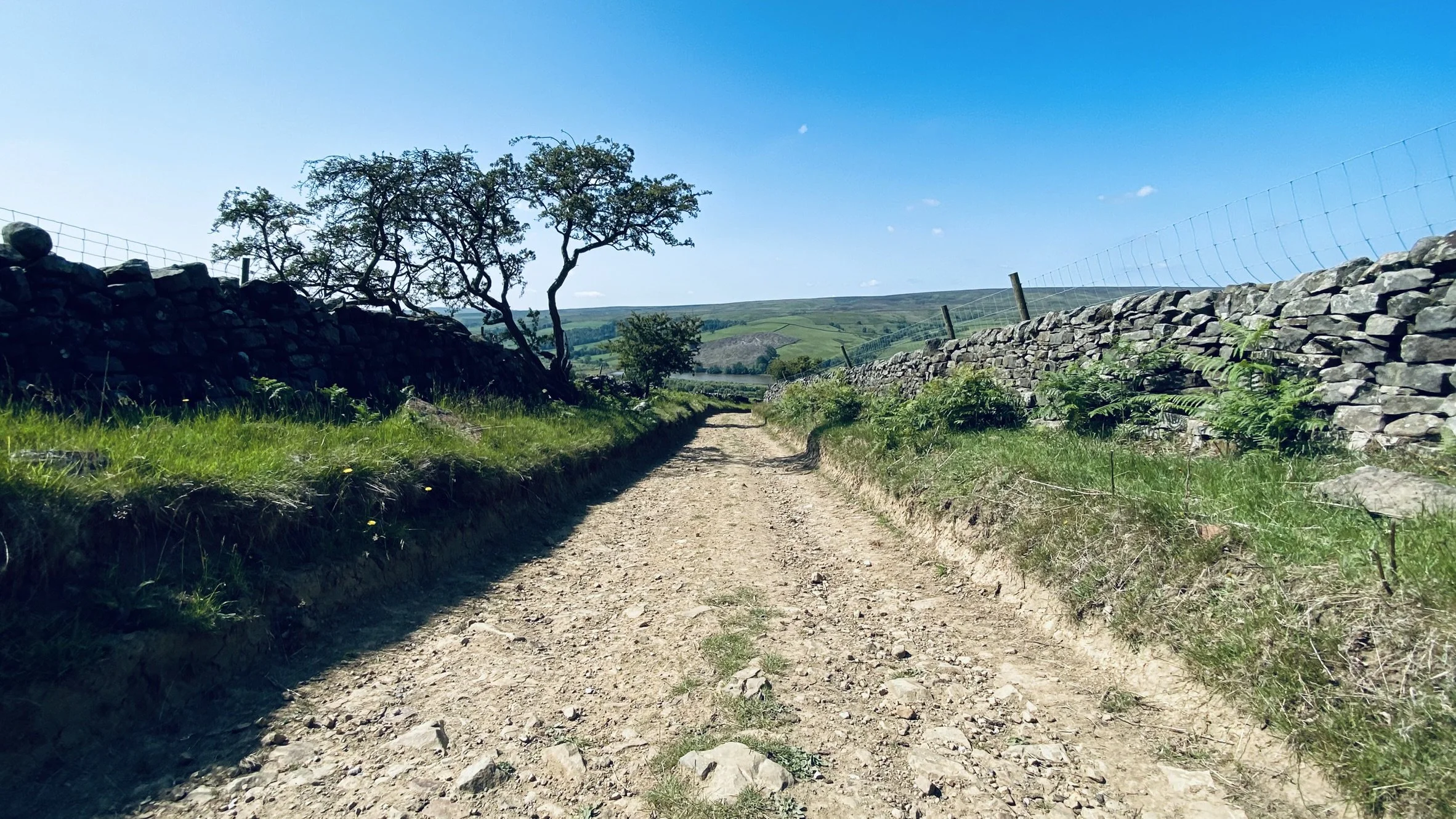
We are now looking down into Upper Nidderdale with over 25km of the finest quality tracks to ride. After a bumpy downhill track we pass the remains of a 12th Century hamlet called Lodge and the foundations of a navvy town for 1,200 workers who dug out and built the dam walls of Angram and Scar House Reservoirs from 1921-1936.
At Pateley Bridge there is a convenience store called the Dales Market Corner. Ahead lies a mix of paved and gravel tracks into Wharfedale with a tough climb over Rombalds Moor above Ilkley and a long descent to the floor of the Aire Valley where we pass the impressive Bingley Five Rise Locks -the steepest staircase locks, on the longest canal in the country (Leeds and Liverpool Canal).
We climb out of the Aire Valley to reach Haworth and the cobbles and cafes of its Main Street. A brief pause here is worth while as ahead is one of the hardest climbs and hike a bike sections of the route up to the ‘Top of the Stairs’.
The final 5km is on a much loved bridleway along the stunning Crimsworth Dean to arrive back at Hebden Bridge with the finish line 2km on a traffic free greenway along the valley floor to Mytholmroyd Community Centre.
central pennines: The head
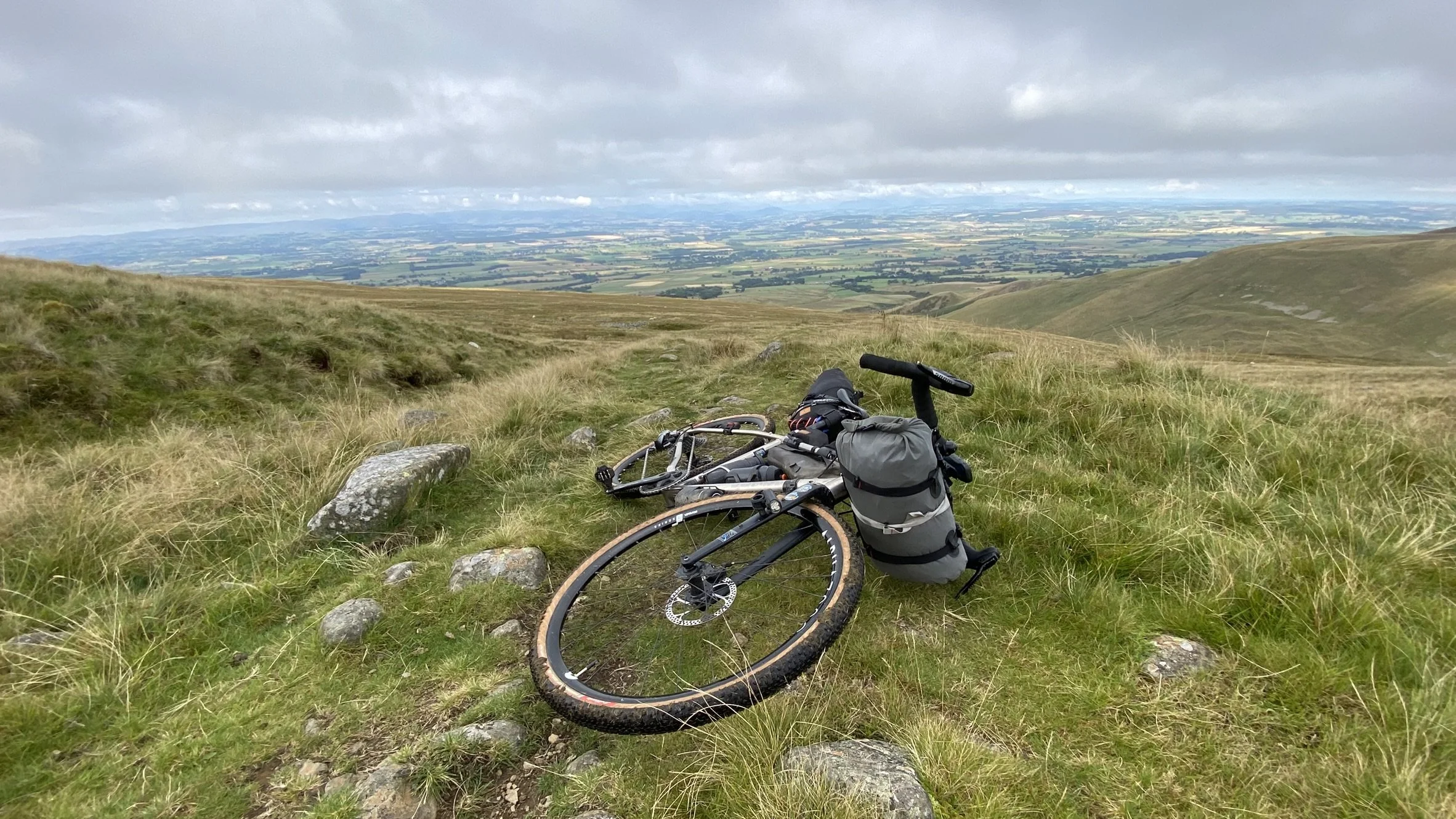
Climbs the slopes of Cross Fell, the highest moorland in England with the route going past the welcome sight of Greg’s Hut mountain bothy.
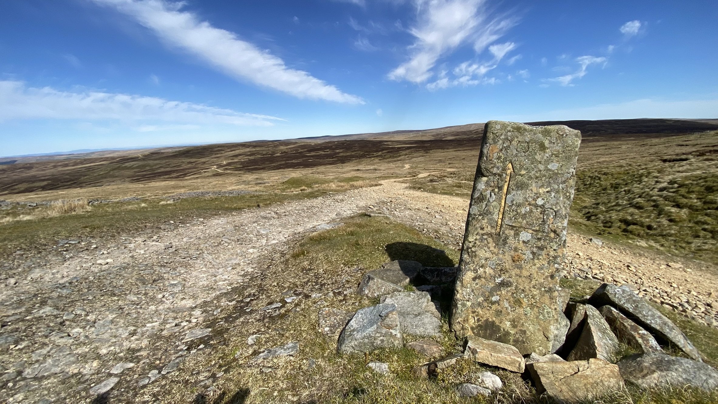
This section involves a steep climb on an old quarry track and then, once this ends half way up the fell side, its a tough section of ‘hike a bike’ on faint paths across the open moor. Curracks guide your way and of course the GPX!
Once on the tops there’s a high quality gravel track that runs for many kms down into Garrigill where a superb village hall provides water taps, toilets, bunk rooms with hot showers and a place to pitch a tent or press on further north.
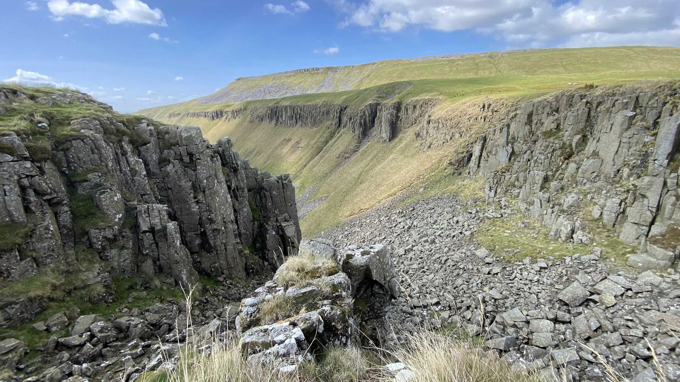
Riders cross wild moorland to reach High Cup Nick, a U-shaped glaciated valley and one of the most dramatic landscapes in the north of England and the a long descent to Dufton with its Inn and campsite.
north pennines: the crown
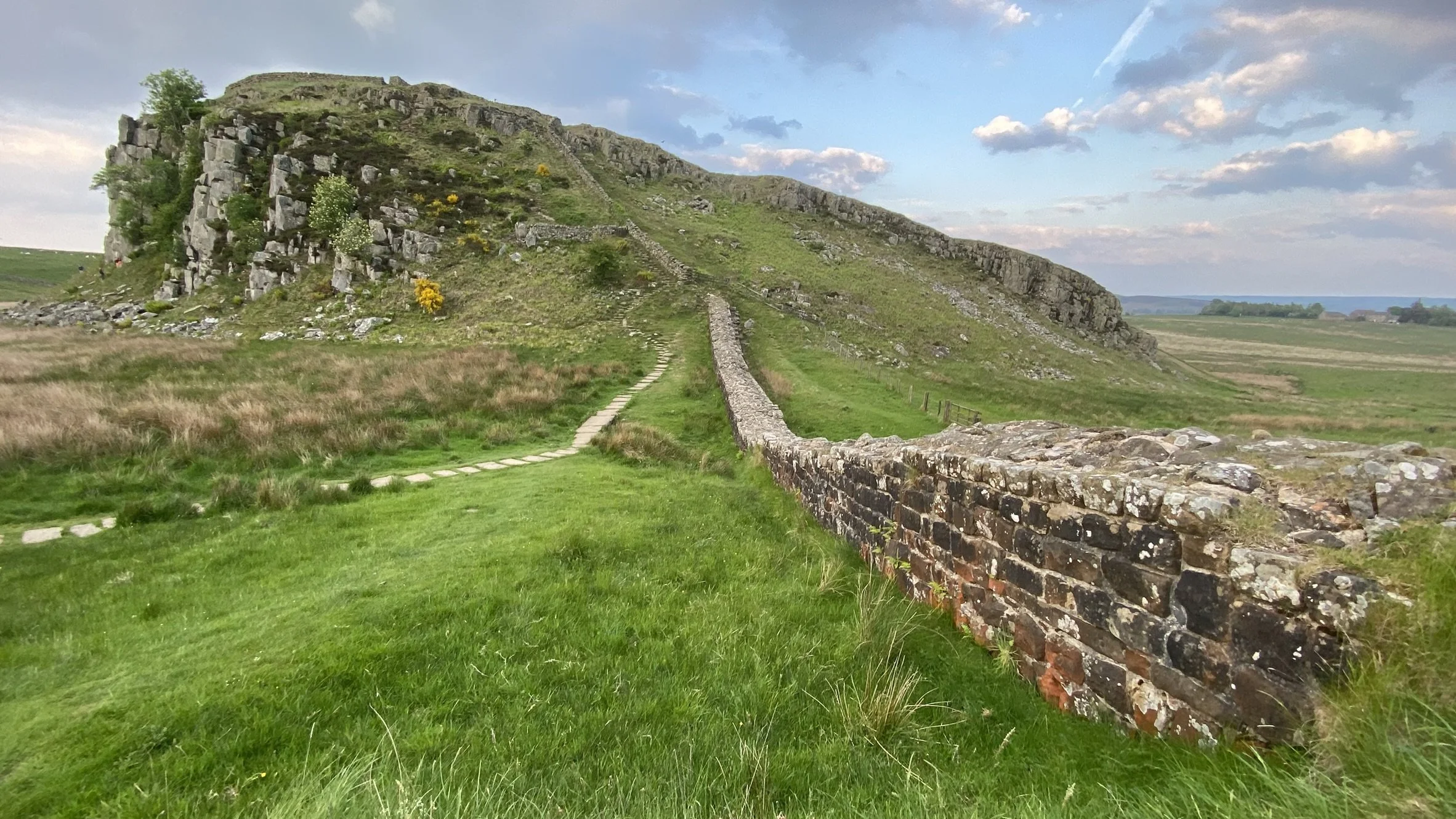
This section of the route embraces a landscape shaped by 300 years of industrial mining for lead and zinc as we pass through Nenthead and then a much older landscape in the shape of Hadrian’s Wall perched on top of Whin Sill Ridge, an outcrop of hard volcanic rock.
Riders pass the Vindolanda Roman Fort at Stanegate and onto Twice Brewed with its state of the art Youth Hostel and famous Inn.
The furthest point north takes us through Hadrian’s Wall at Steel Rigg and, having passed through the wall into territory once held by native tribes the Romans called ‘dirty little Brits’, we pass along the frontier and cross back over the wall at Caw Gap.
At this point the road takes riders past an older monument called the Foal and the Mare: a pair of standing stones, the remains of a Bronze Age stone circle, in the field to your right.
Then its 2km on the very busy B6318 which carries a lot of lorries and a left hand turn at Milecastle Inn to pick up the much quieter tarmac and so downhill to Haltwhistle with its handy Coop and cafes. Ahead lies an easy going 22km ride on the fast flowing greenway on a former railway running from Lambley to Alston along the white waters of the River South Tyne.